
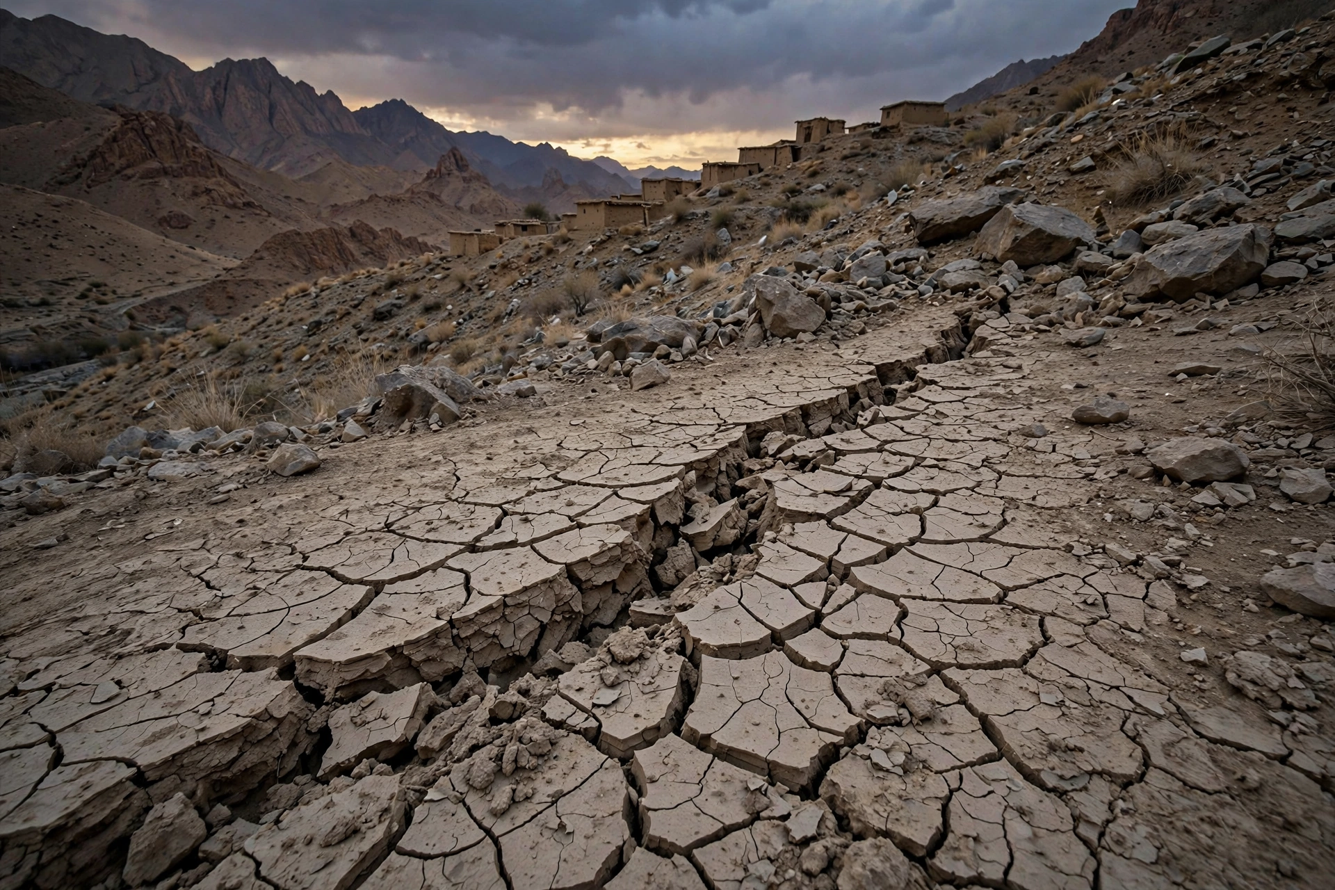

Saturday morning’s 5.9-magnitude earthquake near Khuzdar has claimed its first confirmed life, and a fresh geological analysis points to the fault line that likely produced it. Abdul Rahim, son of Qamaruddin and a resident of Wadh, was killed when a rock fell from a mountain in the Anari area of Naal and struck him on the spot, officials said on Sunday. Several mud houses were damaged when the tremor struck at 10:07am on October 17, with its epicentre 48 kilometres northwest of Khuzdar at a depth of 25 kilometres, according to the PMD’s National Seismic Monitoring Centre.
What we know so far
The PMD recorded a magnitude of 5.9 on the Richter scale, the tremor hit at 10:07am Pakistan time, and the epicentre was located at latitude 28.02 degrees north and longitude 66.20 degrees east, 48 kilometres northwest of Khuzdar, confirmed by the PMD’s duty seismologist Shafiq Ur Rehman.
Residents rushed into open spaces as the ground shook. Damage checks in rural pockets were still underway on Sunday. The US Geological Survey estimated 5.7 at about 10 kilometres depth; such differences are normal early on, and Pakistan’s official figure remains the PMD’s 5.9. Read yesterday’s report on the Khuzdar earthquake’s first hours, when the toll was still unknown.
The confirmed death in Naal
The single confirmed fatality happened in Naal, Khuzdar district. According to official sources cited by Dawn, a large rock broke loose from a mountain in Anari, in the Besar area of Naal, and struck Abdul Rahim on the spot.
Rockfalls are a classic secondary hazard in mountainous terrain: the shaking need not hit a building for a life to be lost on an unstable slope. Several traditional mud houses were also damaged, officials said, with no further casualties confirmed by Sunday morning.
A geologist’s fresh reading: the Chaman Fault Zone
The most interesting new element comes from a geologist, not a newsroom. Hemayatullah Ahmadi, a PhD who maps active faults with remote sensing, published a preliminary seismotectonic analysis of the Khuzdar event this weekend that no Pakistani outlet has yet reported.
Working from the USGS, GEOFON and IPGP moment-tensor solutions, he places the epicentre about 4.6 kilometres east of segment Chm-56d of the southern Chaman Fault Zone, in the Chaman to Ornach-Nal transition. The tensors show left-lateral strike-slip on a nearly north-south plane, matching the Chaman Fault Zone’s known sinistral kinematics; the zone runs roughly 860 kilometres and slips an estimated 5.4 to 16.8 millimetres per year. Older earthquake solutions in the area show the same strike-slip pattern, pointing to an active, segmented fault system in this part of Balochistan.
He stresses the analysis is preliminary: epicentre locations carry kilometres of uncertainty, and confirming the causative segment needs aftershock relocation plus field or satellite observations. Even so, it is the first specific, science-based answer to what moved under Khuzdar’s feet.
Balochistan’s restless 2026
This quake does not stand alone. The province has shaken all year, and the timeline is telling:
- February: 5.6 magnitude at 6:30am, 13 kilometres deep, 86 kilometres northeast of Khuzdar; tremors reached Sindh’s Sukkur, Qambar, Shahdadkot and Dadu.
- May: mild to moderate tremors in Islamabad, Khuzdar and Azad Jammu and Kashmir; no casualties.
- June: three people injured when tremors hit Barkhan district and adjoining areas.
- July: a magnitude 4.0 quake shook Quetta, Ziarat, Harnai and surroundings, sending people into open spaces.
- August: 4.8 magnitude in northern Balochistan, including Zhob and Chaman, 15 kilometres deep, 122 kilometres northeast of Zhob.
- October 17: the 5.9 near Khuzdar, the strongest of the year in the province so far.
Pakistan sits where the Indian, Eurasian and Arabian plates meet, creating five seismic zones under the country, and Balochistan’s Chaman and Makran fault systems keep the ground restless. The province’s predominantly semi-pucca and mud-brick settlements absorb far less energy than engineered buildings. That is why Pakistan marked National Resilience Day on October 8 in memory of the 2005 earthquake: the lesson of that disaster was overwhelmingly about what buildings are made of.
What happens next
Seismologists expect an aftershock sequence after an event of this size, with smaller tremors decreasing in frequency over the coming days and weeks, the largest typically about one magnitude unit below the mainshock. Residents should stay alert for secondary shaking, especially around older or mud-built structures, and keep clear of unstable slopes like the one in Naal.
The district administration’s rural damage assessment is still incomplete, and any change to the casualty figure will come from those checks. For a province already under strain, from the temporary closure of the Iran border, which has already put LPG supplies in the province under pressure, to ongoing security operations, it is one more burden on the same communities. Follow the latest national news from Pakistan for the aftershock tally and the final assessment.